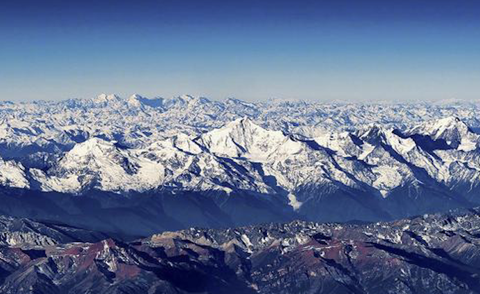
The Hengduan Mountains
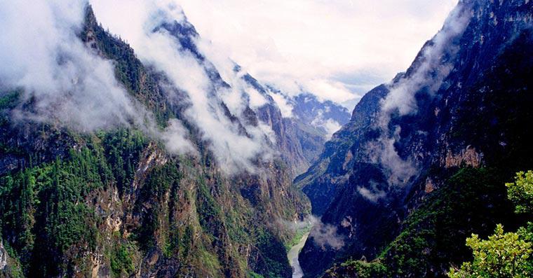
The Hengduan Mountains are a group of mountain ranges in southwest China that connect the southeast portions of the Tibetan Plateau with the Yunnan–Guizhou Plateau. The Hengduan Mountains are primarily large north-south mountain ranges that effectively separate lowlands in northern Myanmar from the lowlands of the Sichuan Basin. These ranges are characterized by significant vertical relief originating from the Indian subcontinent's collision with the Eurasian Plate and further carved out by the major rivers draining the eastern Tibetan Plateau. These rivers, the Yangtze, Mekong, and Salween, are recognized today as the Three Parallel Rivers UNESCO World Heritage Site.
The Hengduan Mountain system consists of many component mountain ranges, most of which run roughly north to south. These mountain ranges, in turn, can be further divided into various subranges. The component ranges of the Hengduan are separated by deep river valleys that channel the waters of many of Southeast Asia's great rivers. The core of the Hengduan Mountains can be divided into four major component ranges:
The westernmost primary range of the Hengduan runs north-south between the Salween (Nu) and Mekong (Lancang) Rivers. The northern half of this range, found in the Tibet Autonomous Region, is called the Taniantaweng Mountains while the southern half, in Yunnan, is called the Nu Mountains. A major subrange along this system is the Meili Snow Mountains and their highest peak, Kawagebo.
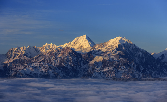
Moving eastward, the next major subsection of the Hengduan Mountains in the range running between the Mekong (Lancang) and Yangtze (Jinsha) Rivers. The northernmost parts of this range are called the Mangkam Mountains, the middle section is known as the Ninchin Mountains, and the southern end is called the Yun Range. The Yulong Mountains are a subrange of this system and the highest peak here is Jade Dragon Snow Mountain's Shanzidou. Eastern Himalaya, part of the larger Himalaya mountains, is Hengduan Mountain's immediate neighbor to its west.
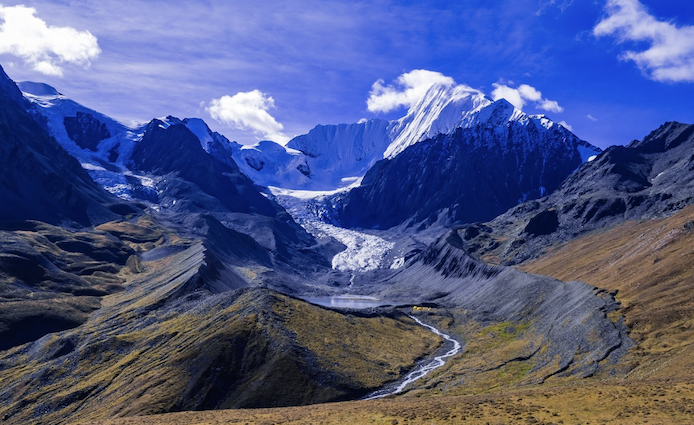
The third primary component of the Hengduan ranges is the section running between the Yangtze (Jinsha) and Yalong Rivers. This section is known for almost its entire length as the Shaluli Mountains except for the northernmost subrange that is called the Chola Mountains. The highest point of this entire section is the Ge'nyen Massif.
The easternmost of the Hengduan core ranges is the Daxue Mountains between the Yalong River and Dadu River. This range is dominated by Mount Gongga, the highest peak in the entire Hengduan group as well as the highest peak east of the Himalayas.
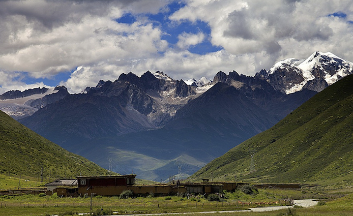
In addition to the four core systems, described above, some adjacent ranges are also sometimes included as part of the Hengduan group. To the west, the Gaoligong Mountains form an additional barrier along the Salween's western edge but are more accurately described as an extension of the Baxoila Range connecting with the eastern Nyenchen Tanglha Mountains across central Tibet. To the east, the Qionglai Mountains and the Min Mountains are sometimes included as part of the Hengduan Mountains as these two ranges form the eastern edges of the Tibetan Plateau.
Reference: Wikipedia
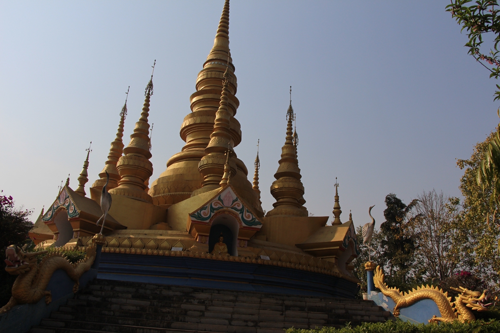
Photo Resource: Internet
If there's any copyright issue involved, please contact us to delete.
Guide
Amazing Balagezong Grand Canyon
6,2,2021 0
Pu’er Profile
4,5,2016 0