Yunnan geography
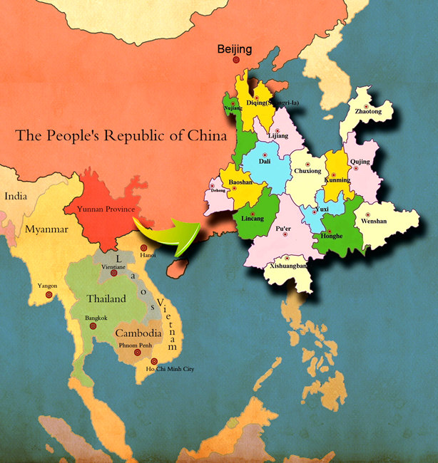 Yunnan is situated in the southwest of China, covering 0.394 million square kilometres, and it is home to about 45.966 million people. With a total border line of 4,060 kilometres, Yunnan borders Myanmar, Vietnam and Laos. In China, Yunnan is one of the provinces that are adjacent to the largest number of neighbouring countries and have the longest border line.
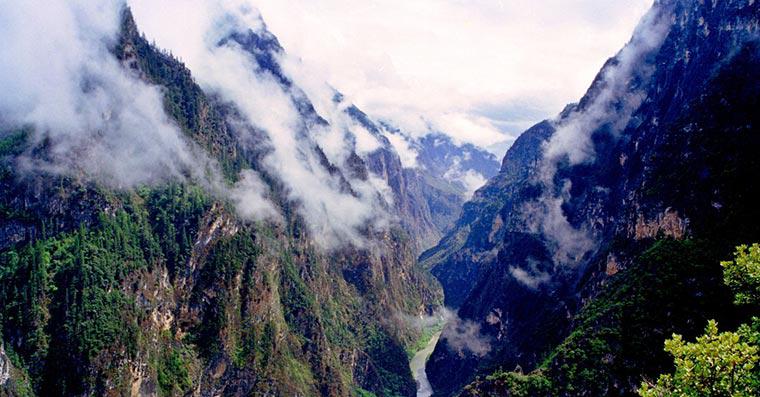
The mountainous and plateau areas account for 94% of the total of Yunnan province. The altitudes differ sharply in Yunnan: the highest point is the Kawakarpo peak (6,740 metres) at the Meili Snow Mt in the northwest, and the lowest point (75 metres) is in Hekou county neighbouring Vietnam. The direct distance between these two places is only 900 kilometres, but the altitude drop difference is at least 6,000 metres.
In Yunnan, there are 889 rivers each of which has a runoff area of at least 100 square kilometres. These rivers belong to six river systems, namely: Jinsha River (Yangtze River), Nanpanjiang River (Zhujiang River), Honghe River, Lancang River, Nujiang River, and Dayingjiang River. Except Jinsha River and Nanpanjiang River, these rivers are all international rivers and lead their ways directly to South China Sea and India Ocean. There are more than 40 plateau lakes, with a total water area of 1,100 square kilometres. The Dianchi Lake (in Kunming), which covers about 300 square kilometres, is the biggest one of its kind in Yunnan; and the Fuxian Lake (in Yuxi) , which is as deep as 150 metres, is the deepest one of its kind in Yunnan.
Guide
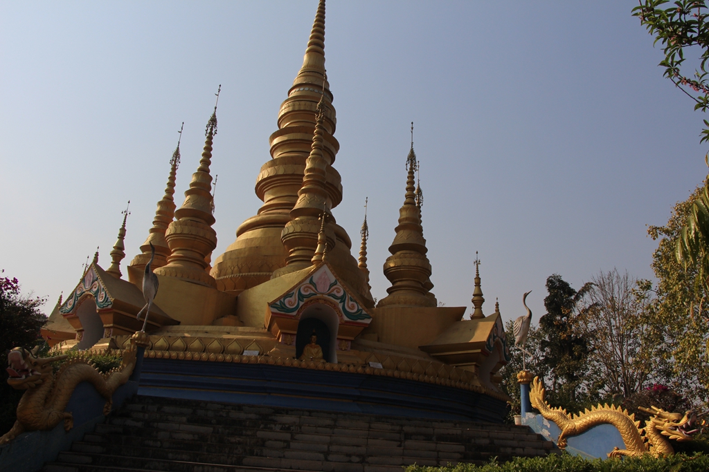
Amazing Balagezong Grand Canyon
6,2,2021 0
Pu’er Profile
4,5,2016 0